
Walk a Carol Stream Street
Begin with one complete, current address. The DuPage County property records portal connects that address to a parcel identification number, or PIN, assessment details, transfer history, and owner-related fields. Next, place the parcel on the county map. That keeps the work tied to legal geography when a Carol Stream postal label does not settle the municipality or township.
A careful street-by-street search moves from the broad map to the document itself. It also records the date shown by each system. An assessed value, transfer date, recording date, election status, and map layer may all refer to different points in time.
- Validate the full address and search the county property roll.
- Copy the PIN, legal description, township, and current tax year.
- Open the GIS viewer and inspect parcels along the named street.
- Use the Recorder index for deeds, plats, easements, and annexations.
- Check election and archival sources only for the question each can answer.
The sequence prevents a common error: treating the first name found as proof of every person who lives there. A street directory is strongest when each name stays attached to its source and date.
Carol Stream Address Search Fields
The county offers separate PIN, address, billing-name, map, and Board of Review routes. During research, the landing page reported maintenance, so public terminals and county staff remain important fallbacks. The direct address-search form is the best first attempt when the house number is known. Results can lead to tax summaries, assessed-value history, exemptions, appeals, split or combine history, legal description, conveyances, maps, and owner-related information.
| Search route | Best input | Useful return |
|---|---|---|
| Address Search | House number and street | Matching PIN and parcel |
| PIN Search | Parcel identifier | Exact property record |
| Billing Name Search | Owner or billing name | Associated tax records |
| Map Search | Known area | Spatial parcel context |
| BOR Hearings | Appeal information | Board of Review record |
The portal warns that certified assessment data can change and bans automated mining. Use individual records and confirm legal ownership through the recorded instrument.
The official form is visible through the DuPage address search.
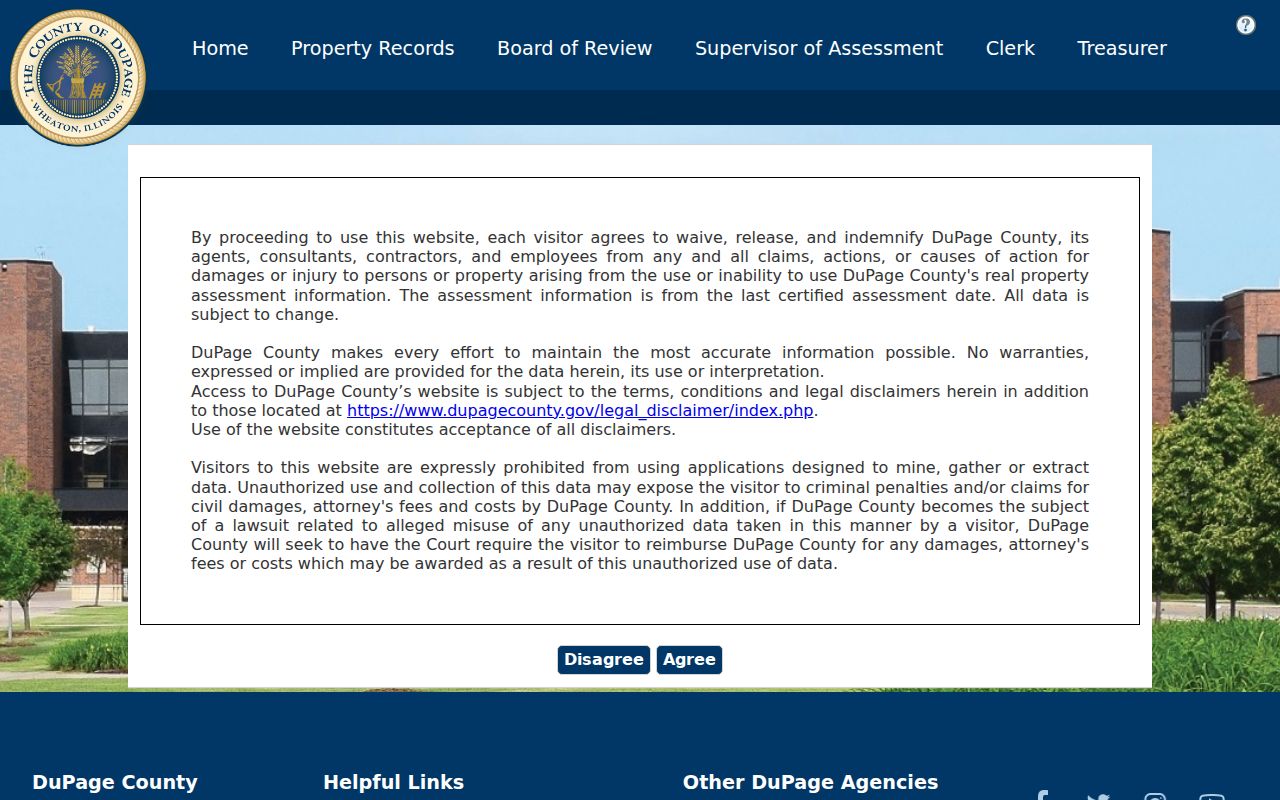
The captured screen shows why exact street spelling and a copied PIN make later searches more reliable.
Map Carol Stream Street Parcels
The DuPage County Parcel Viewer accepts a PIN without dashes or a partial address. Select a result, zoom to the parcel, and turn on only the needed layers. Controls include subdivisions, street intersections, measurements, shapes, reports, Pictometry, and a buffer that defaults to 250 feet. Selected parcels can be exported as TXT, CSV, PDF, XLS, or XLSX.
Map geometry does not prove who occupies a home. It shows where parcels touch, how roads and subdivisions fit, and which legal description belongs to the location. Carol Stream examples occur in Bloomingdale, Milton, and Wayne townships, so township must be read from the record. Village and county maps may update on different schedules.
Map tip. Save the layer date and source because parcel lines, labels, and symbols can change.
Carol Stream Village Address Portal
The Carol Stream Community Portal adds the municipal layer. After an address lookup, it can route users to property information, refuse and recycling details, a property-tax breakdown, government information, and a map gallery. The Village maps page also points to Property Search and Parcel Data.
This source helps when a county street directory result needs a municipal check. It can separate a postal city label from Village service and zoning context. For zoning, search the address, open Parcel Summary, and read the current district. Residential, business, and industrial are broad categories; the zoning map and ordinance control.
Review the source at the Village address portal.
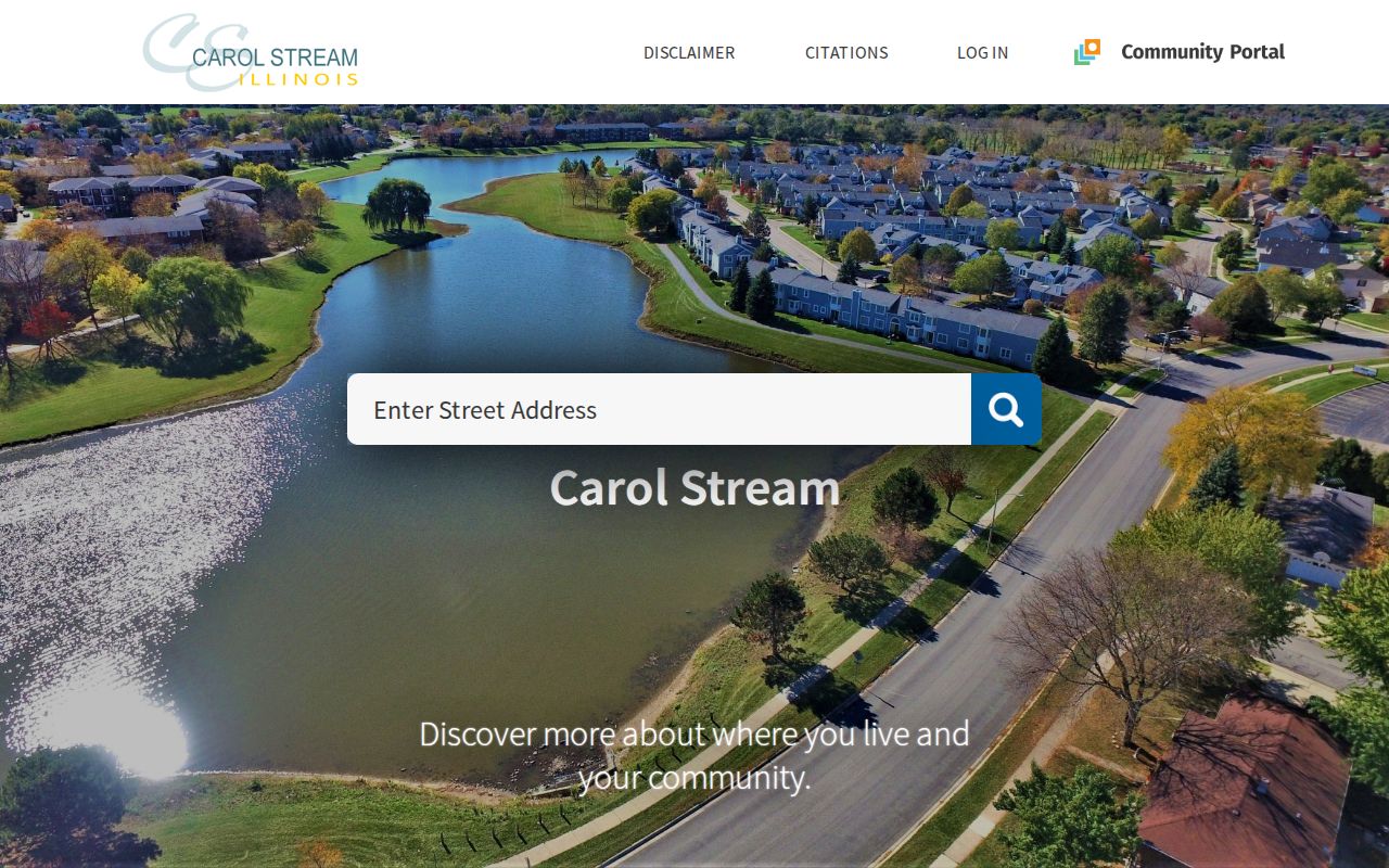
The address entry screen bridges a street location with Village-specific services.
Carol Stream Records by Street
Address-keyed records answer distinct questions. The property roll is the tax trail, GIS is the spatial trail, and the Recorder holds the legal document trail. Village engineering files add plats, easements, annexation agreements, permits, drainage records, and plans that may explain why a street or parcel changed.
| Record source | Keeper | Street evidence | Access channel |
|---|---|---|---|
| Property and tax roll | DuPage County | PIN, values, transfer and owner fields | Portal or county office |
| Parcel map | DuPage GIS | Lots, roads, township and layers | Viewer, report, export |
| Recorded instruments | DuPage Recorder | Deeds, plats, easements, annexations | Index, terminals, staff |
| Village land files | Carol Stream Engineering | Plans, permits, right-of-way and drainage | Department or FOIA |
| Election geography | DuPage Elections | Precinct, districts and polling data | Official address lookup |
Keep the PIN beside every result. Street spelling can shift, but the parcel and legal description often connect the full record chain.
Deeds Along Carol Stream Streets
The DuPage Recorder search can use a name, bank or trust, subdivision or business name, street, PIN, document number, group, or document type. Office property research reaches 1839 to the present. Computer name searching begins in 1961, PIN searching in 1985, and address searching in 1995. Plats and older land material reach further back.
The portal was down during inspection. That does not mean the record is absent. Use public terminals at 421 N. County Farm Road in Wheaton, call research staff at (630) 407-5401, or coordinate a mail or phone request. Ask about the legal description, subdivision, historical owner, or document number. A recorded plat may show street names, lot numbers, dedications, and easements more clearly than a list of deed hits.
Note: A deed-index entry points to a document; read the image or obtain a certified copy when exact legal wording matters.
Carol Stream Street Change Records
The Village Engineering Department is the local source for subdivision plats, easements, annexation agreements, final plans, right-of-way permits, and stormwater or infrastructure maps. These files can explain a road dedication, lot reconfiguration, or municipal change that a current tax page does not spell out.
Request records by street segment, address or PIN, subject, and date range. Under the Village FOIA process, a narrow request for a plat, ordinance, permit, or plan is easier to search than a demand for all records about a person. Illinois FOIA generally calls for a response within five business days for noncommercial requests, subject to a permitted extension.
Read Carol Stream Parcel Terms
Four terms keep by-address research clear. They distinguish the place on the ground from the mailing label and the paper that created it.
- Parcel
- A mapped unit of land identified for assessment and record linking.
- Situs address
- The physical location, which can differ from an owner's mailing address.
- Plat
- A recorded map showing lots, streets, easements, or a subdivision.
- Criss-cross directory
- A directory arranged by street and house number rather than surname.
Older Carol Stream-area records may use Gretna, Tall Trees, a township, or a railroad stop. The Village incorporated in 1959, so earlier searches often belong in county, township, church, railroad, or archival records instead of modern municipal files.
Carol Stream's Large Property Index
DuPage County describes a real-estate database of roughly 335,700 records and 70 fields. That scale explains why a street directory query should be narrow. The controlled bulk file and interactive public portal are not the same product. Search one address, verify its ten-character PIN, and follow only the fields needed.
The number is context, not a resident count. Billing names, parcel records, and owner fields describe property administration. They should never be merged into a claim about every person at an address.
The ten-character PIN is worth preserving in both common forms. Recorder fields display split groups with hyphens, while GIS help directs users to enter the number without dashes. The identifier bridges the systems and reduces false matches on similar street names.
Validate a Carol Stream Street
Postal, parcel, election, tax, and municipal geography serve different purposes. First check a mailing address with the official USPS locator. Then enter it in the Village Community Portal, DuPage GIS, county property search, and voter address mode. Record the municipality, township, PIN, ZIP, precinct, and district values exactly as each source gives them.
A difference is not always an error. ZIP routes need not follow Carol Stream boundaries, and a county sample can use a Carol Stream label while identifying Bloomingdale, Milton, or Wayne township. The Village map is the municipal source, the parcel record supplies assessment context, and USPS controls the delivery label. A street directory entry should not flatten those facts into one boundary claim.
The same care matters for the county election tool. Its address mode uses house number, street name, city, optional direction, and suffix. Results can include registration status, sample ballot, precinct map, polling place, representatives, and district data for the current election cycle. Those civic results do not establish every occupant.
Limits of Carol Stream Street Records
No official street directory lists every resident. A deed names parties to an instrument. A property page may name an owner or billing contact. Election tools serve registration and district needs. Directories can be incomplete, and protected addresses may be withheld. Illinois FOIA also protects defined private information and records whose release would be an unwarranted invasion of personal privacy.
Use the DuPage voter lookup for current civic geography, not as proof of a whole household. For historical occupants, consult the Carol Stream city directory collections and keep the printed year with each entry.
Lawful use. Carol Stream address records are for lawful personal research, civic questions, and family history. Never use them to stalk, harass, intimidate, or harm anyone.
When values conflict, publish each source with its date. Current ownership comes from the recorded legal trail, while tax, GIS, postal, election, and directory records keep their narrower meanings.